

Lake Burigi Circuit
LAKE BURIGI
A chain of lakes and papyrus swamp drawing game through the dry season.
Tanzania
4,707 sq km
29 'C
15mm
Burigi-Chato National Park was gazetted in 2019 from the former Burigi and Biharamulo game reserves, creating a protected area of some 4,700 square kilometres in Tanzania’s north-western Kagera region.
It is one of the least visited national parks in the country, a landscape of rolling savanna, acacia woodland, papyrus swamp and a chain of lakes near the Rwandan border, well off any established safari circuit.
Wildlife populations were badly depleted during the regional conflicts of the 1990s, when refugee movement and poaching pressure across this border area were severe. They have been recovering under national park protection, though densities remain well below those of the northern circuit.
The park forms part of Tanzania’s push to open a western circuit alongside Rubondo Island, Ibanda-Kyerwa and Burigi’s neighbouring reserves. For now it offers something increasingly rare: a large, genuinely wild landscape where you are unlikely to see another vehicle all day.
The Haya are the principal people of the Kagera region, with a long history of centralised kingdoms and a reputation for ironworking that predates European contact by many centuries. Archaeological work in the region has documented iron smelting techniques of considerable sophistication.
Kagera is the heart of Tanzania’s robusta coffee production, and the landscape around the park is intensively cultivated with coffee and banana, the two crops that have underpinned the regional economy for generations.
Bukoba on the shore of Lake Victoria is the regional centre and the usual base for reaching the park. It has a distinct character, closer in feel to the Great Lakes region than to the rest of Tanzania, and its position on the lake shaped centuries of trade.
The region carries the weight of recent history too, having absorbed enormous refugee movements during the Rwandan genocide and its aftermath, an experience that shaped both the local economy and the wildlife populations the park now protects.
By Road
The park is reached from Bukoba, roughly 150 kilometres to the north on Lake Victoria, or from Biharamulo to the south. Roads are rough and a 4×4 is essential; access can be slow after rain.
By Air
Bukoba and Mwanza both have scheduled flights from Dar es Salaam and Arusha, with a long road transfer onward. There is no airstrip at the park itself, which is the main reason visitor numbers remain low.
Exploring the wildlife and attractions of this East African gem offers a once-in-a-lifetime experience filled with breathtaking landscapes, diverse ecosystems, and unforgettable encounters with nature.
No results available
Burigi-Chato lies at around 1,200 to 1,600 metres in the west of the country, close enough to Lake Victoria that the lake’s influence keeps conditions more even than in Tanzania’s drier interior. Days run between 28°C and 31°C and nights fall to 15°C to 19°C.
Unlike much of Tanzania, rainfall is spread across two wet seasons with no severe dry extreme. The heavier rains fall from February to April, peaking in March, and a second wetter period runs from October to December. Annual rainfall is around 1,000 millimetres.
That even distribution is why the country stays green far longer than the northern parks, and why the papyrus swamps hold water through most of the year. It also means game disperses more widely than in a park with a single long dry season.
Because the park is undeveloped and the roads unsealed throughout, weather affects access here more than in established parks. Carry recovery gear if self-driving and treat estimated journey times as optimistic.
Mobile coverage is patchy to non-existent across much of the park, which compounds every other access problem.
Burigi-Chato is emphatically a dry-season park, and the difference between the two halves of the year is one of access as much as wildlife.
June to September is the window to aim for. Tracks are firm, grass is short enough to see through, and animals concentrate around the lakes. September is often the best single month, warm and dry before the October rains.
January offers a brief drier break between the two wet seasons and can work for a well-equipped visitor, though it is less reliable and the grass will still be high.
February to April and October to December bring the rains. Birding is at its strongest and you will have the place to yourself, but unsealed roads become difficult or impassable.
Park fees and guiding are best arranged through TANAPA in advance, since walk-up arrangements here are unreliable.
Whichever season you choose, treat this as an expedition rather than a park visit. Fuel, water, food and recovery equipment all need to come with you, and there is no realistic prospect of assistance if something goes wrong.
Standard precautions apply. Travel with a licensed guide, keep valuables secured, and follow local advice on where and when it is sensible to walk. Roads deteriorate during the rains and night driving is best avoided throughout the region.
Where wildlife is present, remain in your vehicle outside designated areas and keep a respectful distance from all large animals. Water safety matters on the coast and the lakes: check conditions locally before swimming, and be aware of currents and tides.
A chain of lakes and papyrus swamp drawing game through the dry season.
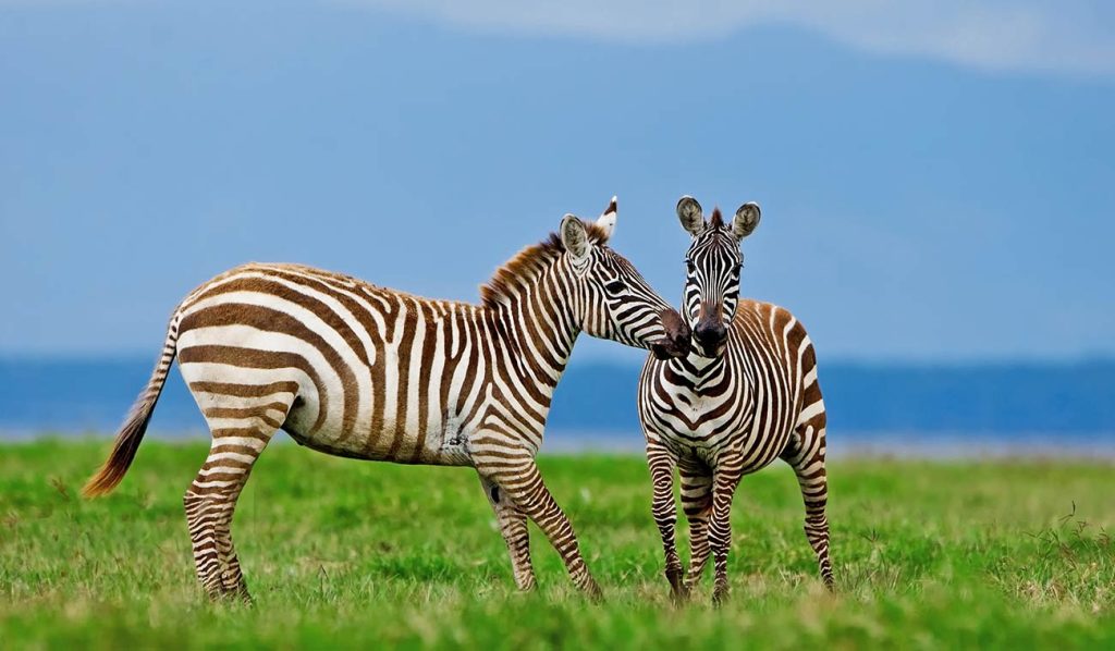
Recovering populations of elephant, buffalo, zebra and topi.
Wetland and woodland species, at their best in the wet months.
Among the least visited national parks in the whole of Tanzania.
The former game reserve, wooded and rarely entered by visitors.
Ironworking traditions and robusta coffee farming around the park.
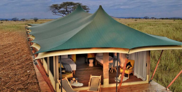
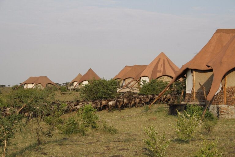
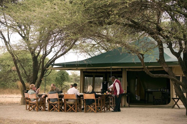
Explore a range of accommodation options designed to suit various preferences and budgets at this location. From comfortable lodges and tented camps to modern hotels, the area provides convenient access to nearby attractions and activities. Scroll through the carousel to find detailed listings of each property, including amenities and contact information, making it easy to plan your stay.
No results available
Explore Burigi-Chato National Park with these recommended tours
No results available
It is one of Tanzania’s newest national parks, gazetted in 2019 from the former Burigi and Biharamulo game reserves to create a protected area of around 4,700 square kilometres in the north-western Kagera region. The landscape mixes rolling savanna, acacia woodland, papyrus swamp and a chain of lakes near the Rwandan border, and it forms part of Tanzania’s effort to develop tourism in its western circuit alongside Rubondo Island and Ibanda-Kyerwa.
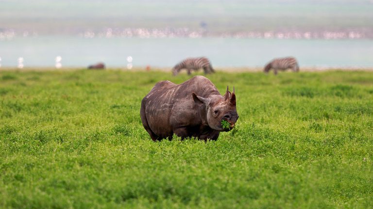
Populations were badly depleted during the regional conflicts of the 1990s and are still recovering, so densities are well below those of the northern parks and sightings require patience. Buffalo, zebra, topi and various antelope are reasonably common, with elephant and lion present in smaller numbers. Visitors should come for the wilderness and solitude rather than expecting a Serengeti-style concentration of game. Sightings improve noticeably in the dry months. Park fees and any guiding are best arranged through TANAPA in advance, since walk-up arrangements here are unreliable.
The park is reached by road from Bukoba, about 150 kilometres north on Lake Victoria, or from Biharamulo to the south, and a 4×4 is essential on rough unsealed roads. Bukoba and Mwanza both have scheduled flights from Dar es Salaam and Arusha, followed by a long transfer. There is no airstrip at the park itself, which is the main reason visitor numbers stay very low. Buy fuel and supplies before setting out.
June to September is much the best window, when tracks firm up, grass thins out and animals concentrate around the lakes. September is often the strongest single month. The wet seasons of February to April and October to December bring green landscapes and excellent birding, but roads become difficult or impassable and there is no all-weather infrastructure to rely on if you get caught out somewhere remote. Park fees and any guiding are best arranged through TANAPA in advance, since walk-up arrangements here are unreliable.
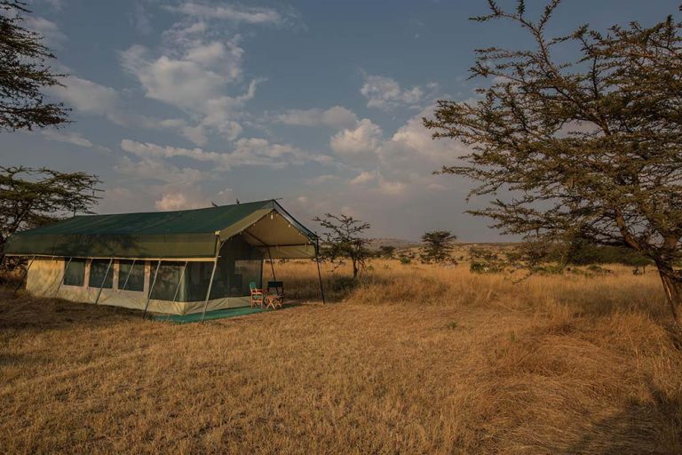
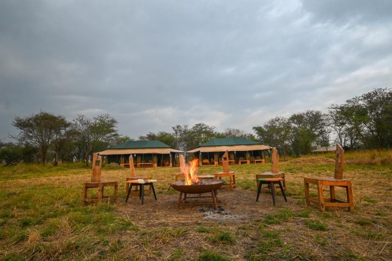
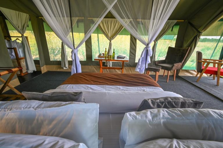
Facilities are minimal and developing slowly. There are basic campsites and limited banda accommodation managed by the park authority, and nothing resembling the lodges of the northern circuit. Most visitors either camp self-sufficiently or base themselves in Bukoba or Biharamulo and make day trips in. Confirm what is actually operating before travelling, as availability changes and published information about the park is scarce. Park fees and any guiding are best arranged through TANAPA in advance, since walk-up arrangements here are unreliable.
Strongly advised, and effectively necessary. The park has an extensive network of unsigned tracks across a very large area, no mobile coverage in much of it, and no reliable means of getting help if a vehicle becomes stuck. A TANAPA ranger or an experienced local guide is worth arranging in advance through the park authority, both for navigation and for the far better wildlife sightings that local knowledge produces. Park fees and any guiding are best arranged through TANAPA in advance, since walk-up arrangements here are unreliable.
Yes, and that is increasingly how it is being promoted. Ibanda-Kyerwa National Park lies to the north near the Rwandan and Ugandan borders, and Rubondo Island National Park sits in Lake Victoria to the east, reachable from Mwanza. A western circuit taking in two or three of these is a genuine expedition rather than a packaged trip, and suits travellers with time and their own vehicle. Park fees and any guiding are best arranged through TANAPA in advance, since walk-up arrangements here are unreliable.
For most visitors on a first trip to Tanzania, honestly no: the northern and southern circuits offer far more wildlife for far less effort. Burigi-Chato rewards a particular kind of traveller, one who values solitude and genuine wilderness over sightings per hour, and who is equipped to be self-sufficient. Its appeal will grow as populations recover and infrastructure develops over the coming years. Park fees and any guiding are best arranged through TANAPA in advance, since walk-up arrangements here are unreliable.
Explore other optional accommodation to consider at