

Kagera River Valley
KAGERA RIVER
Riverine woodland and wetland on one of the region's most scenic rivers.
Tanzania
586 sq km
29 'C
15mm
Ibanda-Kyerwa National Park sits in the far north-west corner of Tanzania in Kagera region, on the Kagera River close to where the borders with Rwanda and Uganda converge.
Gazetted in 2019 from the former Ibanda and Rumanyika game reserves, it covers around 586 square kilometres of savanna, riverine woodland and wetland along one of the most scenic stretches of the Kagera valley, with rolling hill country rising on either side.
It is among the least developed parks in the Tanzanian system and receives very few visitors, which is both its principal drawback and, for a certain kind of traveller, its entire appeal. There is no airstrip, no sealed road and effectively no visitor infrastructure.
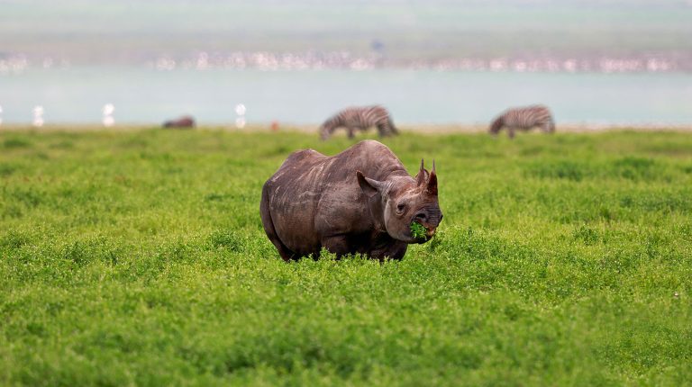
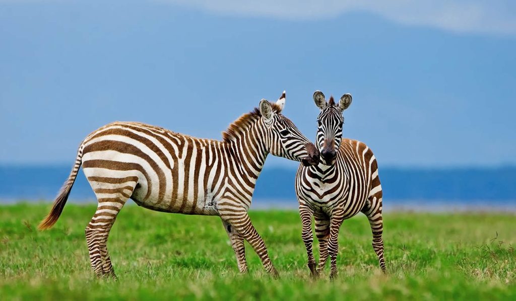
Zebra, topi, eland and impala are the mainstay of the game, with buffalo present and elephant and leopard occurring in small numbers. Birdlife along the river and wetlands is a genuine strength in an area that is almost never birded.
This is Haya and Nkore country, close enough to the Rwandan and Ugandan borders that language, farming practice and family ties cross them freely. Cattle keeping and banana cultivation dominate the surrounding land, as they do across the wider Great Lakes region.
The Rumanyika area carries the name of a nineteenth-century Karagwe king whose court was visited by the explorers Speke and Grant in 1861 during their search for the source of the Nile. Their accounts describe a sophisticated kingdom with established trade links running to the coast.
The Karagwe kingdom controlled the trade routes through this corner of the region for centuries, dealing in iron, salt and cattle, and its history is far better documented than the park’s own natural history.
Kayanga in Karagwe district is the nearest town of any size and the practical place to arrange guiding, fuel and supplies. Local knowledge matters here more than in any established park, since published information about routes and conditions is essentially non-existent.
By Road
The park is reached from Bukoba, roughly 150 kilometres to the south-east, or via Kayanga in Karagwe district. Roads are unsealed and a 4×4 is required. The Rwandan and Ugandan borders are both within easy reach.
By Air
Bukoba airport has scheduled flights from Dar es Salaam and Mwanza, followed by a long road transfer. There is no airstrip serving the park directly, and no scheduled tourist transport of any kind.
Exploring the wildlife and attractions of this East African gem offers a once-in-a-lifetime experience filled with breathtaking landscapes, diverse ecosystems, and unforgettable encounters with nature.
No results available
At around 1,300 to 1,600 metres in the far north-west, Ibanda-Kyerwa has a mild and relatively even climate by Tanzanian standards. Days run between 28°C and 31°C and nights fall to 15°C to 19°C, with proximity to Lake Victoria and the equator keeping conditions stable through the year.
Rainfall follows the two-season pattern of the Great Lakes region rather than the single long dry period of central Tanzania. The heavier rains run from February to April, peaking around March, and a second wet spell falls from October to December, with annual rainfall of roughly 1,000 millimetres.
That distribution keeps the Kagera valley green for much of the year and sustains the riverine woodland that gives the park its character. It also means grass stays high longer, which affects visibility from a vehicle.
June to September is the reliable dry window. The constraint is access rather than comfort: there is no sealed road and no all-weather infrastructure to fall back on.
Mobile coverage drops away entirely inside much of the park, so leave a route plan with someone in Kayanga or Bukoba.
Ibanda-Kyerwa is a dry-season proposition, and the reasoning is practical as much as it is about wildlife.
June to September is the window that works. The unsealed tracks are firm, grass has dropped back far enough to see through, and the riverine areas along the Kagera become reachable. September is usually the best single month.
January gives a short drier break between the two wet seasons and is workable for a well-equipped visitor, though conditions are less predictable and vegetation will still be high.
February to April and October to December bring the rains. The Kagera valley is at its most beautiful and the birding excellent, but the park has no all-weather roads and a stuck vehicle here is a serious problem.
Confirm road conditions locally before setting out, as they change quickly and published information is scarce.
Whichever month you travel, confirm conditions locally on the day. Roads in this corner of Tanzania change quickly after rain, and the people best placed to advise are the drivers working out of Kayanga rather than any published source.
Standard precautions apply. Travel with a licensed guide, keep valuables secured, and follow local advice on where and when it is sensible to walk. Roads deteriorate during the rains and night driving is best avoided throughout the region.
Where wildlife is present, remain in your vehicle outside designated areas and keep a respectful distance from all large animals. Water safety matters on the coast and the lakes: check conditions locally before swimming, and be aware of currents and tides.
Riverine woodland and wetland on one of the region's most scenic rivers.
Zebra, topi, eland and impala across open rolling country.
The former reserve linked to the nineteenth-century Karagwe kingdom.
Wetland and woodland species in an area very rarely birded.
Rolling hill country where three national borders converge.
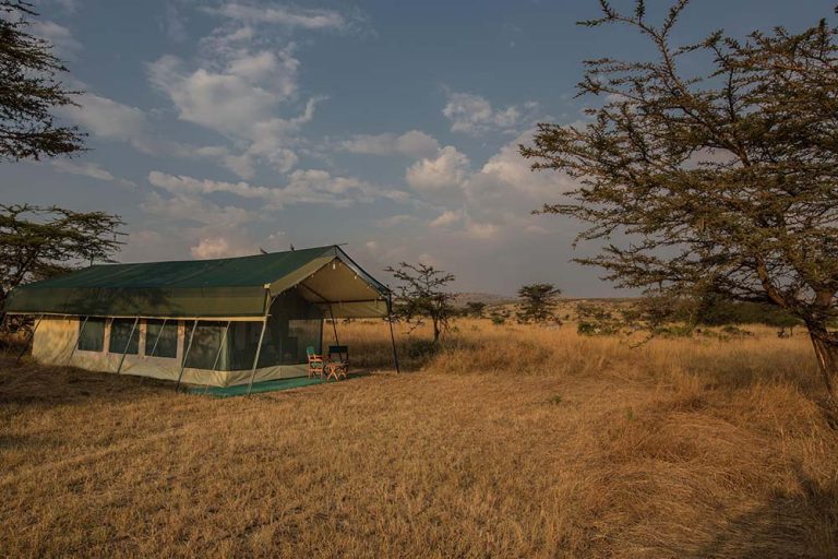
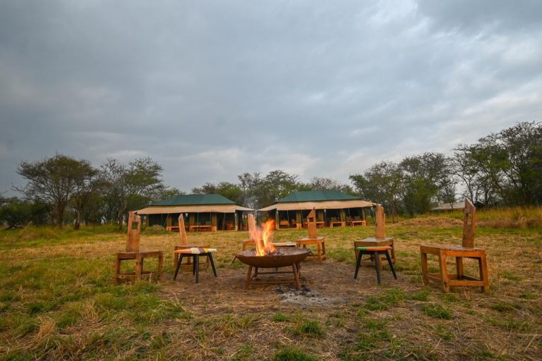
Basic camping in one of the least visited parks in Tanzania.
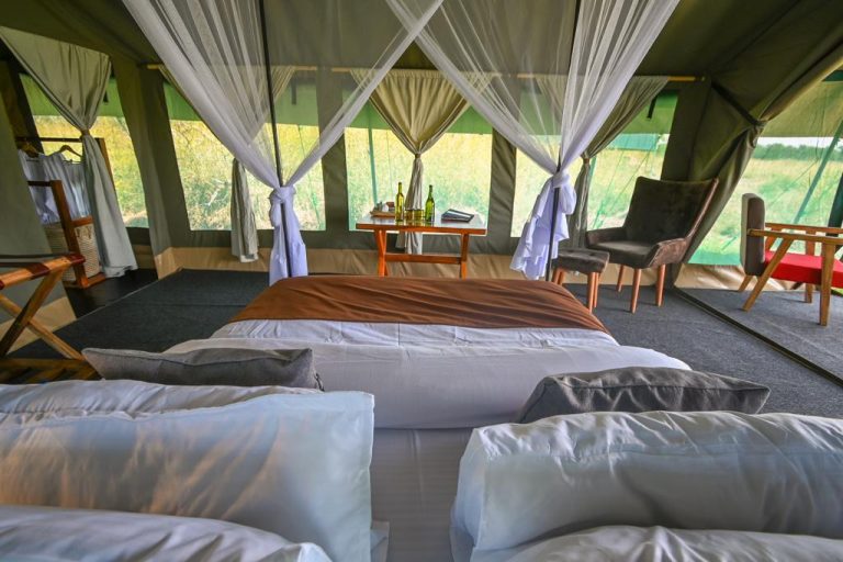
Explore a range of accommodation options designed to suit various preferences and budgets at this location. From comfortable lodges and tented camps to modern hotels, the area provides convenient access to nearby attractions and activities. Scroll through the carousel to find detailed listings of each property, including amenities and contact information, making it easy to plan your stay.
No results available
Explore Ibanda-Kyerwa National Park with these recommended tours
No results available
It lies in the far north-west corner of Tanzania in Kagera region, on the Kagera River close to where the Rwandan and Ugandan borders meet. The park was gazetted in 2019 from the former Ibanda and Rumanyika game reserves and covers around 586 square kilometres of savanna, riverine woodland and wetland. Bukoba on Lake Victoria, roughly 150 kilometres south-east, is the usual base for reaching it by road. Local operators in Bukoba are the most realistic source of a vehicle and driver who actually know the routes through the park.
Zebra, topi, eland, impala and various smaller antelope are the mainstay, with buffalo present and elephant and leopard occurring in small numbers. As with much of western Tanzania, populations were affected by the instability of the 1990s and are recovering slowly under national park protection. Birdlife along the Kagera River and the wetlands is a genuine strength, and the area is very rarely birded by visitors. Published information about this park is scarce, so confirm access conditions locally rather than relying on anything written.
Barely, and visitors should understand that before travelling. There is no airstrip serving the park, no sealed road, no scheduled transport and effectively no visitor infrastructure. Camping is basic and largely self-sufficient. This is a park for well-equipped, experienced travellers who want genuine solitude, not for anyone expecting the lodges and serviced circuits of the northern parks. Confirm current access conditions before committing to the drive. Local operators in Bukoba are the most realistic source of a vehicle and driver who actually know the routes through the park.
June to September, without much argument. The unsealed tracks are firm, the grass has dropped back far enough to see through, and the riverine areas along the Kagera become accessible. September is usually the best single month. The wet seasons of February to April and October to December make the roads difficult, and with no all-weather infrastructure a stuck vehicle becomes a serious problem rather than a delay. Published information about this park is scarce, so confirm access conditions locally rather than relying on anything written.
Through TANAPA in advance where possible, since facilities for on-site payment are limited and unreliable. Guiding, fuel and supplies should all be organised in Bukoba or Kayanga before setting out, as nothing is available near the park. Local operators in Bukoba are the most realistic source of a vehicle and driver who know the routes, which matters far more here than in an established park. Local operators in Bukoba are the most realistic source of a vehicle and driver who actually know the routes through the park.
The park sits close to both borders, and its position makes it feasible to combine with a crossing for travellers already moving through the region. The Rusumo crossing into Rwanda and the Mutukula crossing into Uganda are both within reach. Confirm current requirements and opening hours before planning around them, and note that formalities at the smaller posts can be slow and unpredictable. Published information about this park is scarce, so confirm access conditions locally rather than relying on anything written.
Rumanyika was a nineteenth-century king of Karagwe whose court was visited by the explorers Speke and Grant in 1861 during their search for the source of the Nile. Their accounts describe a well-organised kingdom with established trade links to the coast. The former Rumanyika game reserve, now part of the national park, carries his name, and the historical association is better documented than the park’s natural history. Local operators in Bukoba are the most realistic source of a vehicle and driver who actually know the routes through the park.
For most travellers, not on a first trip to Tanzania. The effort, cost and self-sufficiency required are considerable, and the wildlife densities do not compare with the established circuits. It suits people already travelling overland through the Great Lakes region, or those who place a high value on being somewhere genuinely unvisited. As populations recover and access improves, that calculation will change. Published information about this park is scarce, so confirm access conditions locally rather than relying on anything written.
Explore other optional accommodation to consider at